
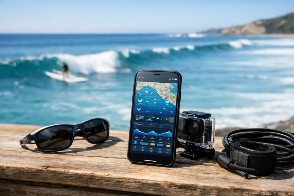
A blown-out shoreline can look harmless from the parking lot. Then you paddle out, drop below the surface, and find two feet of green water, surge, and a session that was never worth the gear prep. That is the problem an ocean planning app review should solve: not whether an app can show weather, but whether it can help you decide if getting in is actually a good call.
For divers, snorkelers, freedivers, spearfishers, and coastal swimmers, the best planning tools turn scattered conditions into a clear answer. Is visibility likely to be good? When is the best window? What is changing at your specific coast? And if the conditions are borderline, is there enough current, swell, or wind to make the session a pass?
What an Ocean Planning App Should Actually Do
Most weather apps are built for land. They can tell you the air temperature, chance of rain, wind speed, and a broad marine forecast. Useful, sure. But they do not usually answer the question that matters when your mask is packed: will the water be clear enough, calm enough, and safe enough for what I want to do?
A useful ocean planning app combines the variables that shape a real water day. Wind can churn surface texture and push sediment toward shore. Swell can create surge, stir up the bottom, and make entry points difficult. Tide affects current, depth, and water movement. Recent rain and runoff can change clarity quickly, especially near harbors, river mouths, and urban beaches.
The app should translate those inputs into something practical. Raw swell height and tide charts still matter, but they should support a decision rather than force you to become your own full-time marine forecaster. Look for a simple clarity outlook, a recommended time window, and enough underlying context to understand why the call is good, bad, or uncertain.
The Features That Save the Most Time
Visibility guidance, not just surface weather
Underwater visibility is the missing layer in most coastal forecasts. A sunny day with light wind can still deliver poor visibility after a big swell, a runoff event, or several days of unsettled conditions. Conversely, conditions that look average at the surface can produce surprisingly clean water during the right tide and wind window.
The strongest apps make visibility the center of the experience. They should offer a plain-language outlook, such as poor, fair, good, or excellent, and show how that outlook is expected to move through the day. That helps you choose between an early-morning snorkel, a late-afternoon shore dive, or waiting until tomorrow.
There is a trade-off here. No app can promise exact visibility at every reef, jetty, or cove. Water clarity is local and can change fast. A quality tool is honest about uncertainty while still giving you a useful directional read. Confidence levels, recent reports, and clear explanations are more valuable than false precision.
Timing windows that match real sessions
A daily forecast is not enough if the good conditions only last two hours. For ocean users, timing is often the difference between a clean, relaxed session and a frustrating one.
Look for suggested windows based on the conditions that matter locally. A light offshore wind may improve surface conditions in the morning. A tide change may reduce current at a particular entry. A rising swell may make the afternoon less appealing, even if the sky stays blue.
The best apps make this easy to scan before you load the car. You should be able to see whether the next best window is before work, around slack tide, or worth planning for the weekend. That is especially useful for travelers, who have less time to learn the patterns of an unfamiliar coast.
Local reports from people who got wet
Forecast models are powerful, but they cannot see the plume coming out of a nearby channel or the sand being stirred up at one exposed beach. Community check-ins add the ground truth that forecasts miss.
A good local report is specific and fast: where the user went, how the visibility looked, whether the surface was manageable, and when they were there. Photos help too, as long as the app makes clear that one image is a snapshot, not a guarantee for the entire coastline.
Community data works best when it is recent and easy to interpret. Yesterday’s report may be helpful after a stable weather pattern. After heavy rain, strong wind, or a swell shift, it can be outdated by noon. Check timestamps, location details, and whether multiple users are seeing the same thing.
Safety tools that support better decisions
An app should never replace training, local knowledge, a proper weather check, or your own judgment in the water. It can, however, make safer planning more likely.
Buddy features are especially practical for people who do not want to wait for the perfect group text response. Finding a compatible partner for a shore dive, snorkel, or freedive can reduce the temptation to go alone. The right setup should make expectations clear before anyone meets up: experience level, session type, location, timing, and basic communication.
Safety also means giving yourself permission to walk away. If the clarity outlook is poor, the swell is building, or local reports mention surge and difficult entries, an app should make that information obvious. Saving a wasted trip is good. Avoiding a sketchy one is better.
How to Judge the Forecast Before You Trust It
The easiest way to assess an ocean planning app is to compare its calls with your own local experience for a few weeks. Watch what it predicts before a familiar site, then log what you actually find. Does it recognize the visibility drop after onshore wind? Does it catch the improvement after a calm stretch? Are its timing windows useful, or too broad to plan around?
Pay attention to location detail. Conditions can vary dramatically across a short stretch of coast. An exposed beach may be rough while a protected cove is workable. A broad regional forecast may be fine for a weekend overview, but it is less useful when you are choosing between two launch points 15 minutes apart.
Also consider how the app handles changing conditions. The ocean is not static, and a planning tool should not act like it is. Fresh community observations, updates through the day, and clear condition snapshots make an app far more useful than a once-daily prediction.
Where Searu Fits
Searu is built around the decision standard water apps often skip: whether visibility and overall conditions line up for a worthwhile session. Rather than leaving users to piece together tide, wind, swell, local photos, and scattered reports, it brings clarity outlooks, suggested time windows, community check-ins, and buddy planning into one coastal-focused view.
That approach makes particular sense for nearshore ocean users. A surfer may prioritize wave shape. A boater may focus on sea state and route conditions. A diver or snorkeler needs to know whether the underwater experience will justify the trip, while still checking the surface conditions that affect entry and safety.
The value is not that an app makes the call for you. The value is that it gives you a faster, more informed starting point before you commit fuel, time, gear, and effort.
The Bottom Line for Better Ocean Days
The right app will not turn every forecast into perfect blue water. It should help you stop guessing, spot the better windows, and recognize when the coast is telling you to wait. Use the data, check recent local observations, make a conservative call when conditions are mixed, and get in when the conditions line up.