
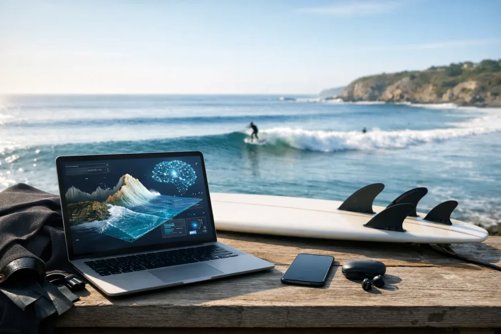
A glassy morning can still produce a disappointing session. You arrive with tanks, fins, and a fully charged camera, only to find suspended sand, runoff, or a tide shift has turned the water green and hazy. AI-powered ocean timing is built to prevent that kind of wasted trip by answering the question that matters most: when is the water actually worth getting into?
For snorkelers, freedivers, scuba divers, and nearshore explorers, a standard weather forecast is only part of the picture. Wind speed does not tell you whether visibility will improve after slack tide. A surf report may show manageable swell without explaining whether that swell has been stirring up the bottom all night. The best call comes from connecting the variables, then translating them into a simple timing decision.
Why ocean timing matters more than a daily forecast
Most ocean conditions change on a schedule, not all at once. Tide moves. Wind builds or backs off. Swell arrives from a different direction than local wind. Boat traffic, rain, runoff, and currents can all change what the water looks like from one hour to the next.
That is why a forecast that says “good conditions today” can be misleading. A beach might have its clearest water between early morning and mid-tide, then lose visibility as afternoon wind pushes chop toward shore. Another site may need a different tide stage entirely because of its bottom contour, inlet flow, or exposure to swell.
Good planning is not about finding a perfect day. It is about finding the best window within the day.
For someone driving 45 minutes to the coast, coordinating a dive buddy, loading gear, or planning around a limited travel schedule, that distinction is huge. A two-hour window with better visibility can make the difference between a memorable session and a frustrating one.
What AI-powered ocean timing actually does
AI-powered ocean timing brings scattered marine data into one usable recommendation. Rather than asking you to interpret several charts and make a guess, it looks for patterns between the conditions that affect water quality and session comfort.
The useful inputs often include tide height and direction, wind speed and direction, swell size and period, recent rain, currents, water temperature, and local observations. Photo reports and check-ins matter, too. They add real-world context that no model can fully infer from offshore data alone.
The output should not be a vague score with no explanation. It should help you see whether conditions are trending better or worse, identify the most promising time to go, and understand what could change the call.
For example, an outlook might suggest that visibility is likely to improve after morning wind settles and before an outgoing tide pulls sediment through an inlet. That gives you an actionable plan: skip the early rush, meet your buddy late morning, and avoid burning a whole day chasing the wrong window.
The variables that can change visibility fast
Clear water is not controlled by one factor. It is a moving result of what is happening above, below, and around the coastline.
Wind direction and duration
Wind is often the first thing people check, but direction can matter as much as speed. An onshore breeze may push surface chop and stirred-up water toward a beach. Offshore wind can flatten the nearshore surface at some locations, though it can also make conditions less forgiving at others.
Duration matters, too. A brief gusty period is different from 18 hours of persistent wind working the same direction. AI analysis can weigh that recent pattern instead of treating a single wind reading as the whole story.
Swell, period, and bottom movement
A modest swell with a long period can have more energy than it appears to at first glance. At a shallow reef, rocky point, or sandy beach break, that energy can move sediment and reduce clarity even when the surface looks calm from the parking lot.
This is where site-specific context matters. A protected cove may stay clear while a nearby open beach turns cloudy. The answer is rarely just “small swell equals good visibility.”
Tide and current
Tide is one of the most useful timing tools, especially around inlets, channels, harbors, and tidal rivers. Incoming water may bring cleaner ocean water into certain areas. Outgoing water can carry sediment, debris, or runoff outward. But that pattern is not universal.
Some sites are best near high tide because there is more depth over reef or rock. Others improve around a slack period when current eases enough for a calmer, safer entry. Your ideal tide window depends on the location and your activity.
Rain and runoff
Heavy rain can change coastal visibility for days, particularly near storm drains, river mouths, and developed shorelines. Even after the sky clears, runoff can continue to affect water color and quality.
That does not mean every post-rain session is off. Offshore sites, protected areas, and coastlines with different drainage patterns can recover at different speeds. The smart move is to pair weather history with recent local reports instead of assuming the forecast tells the whole story.
Better predictions need local people in the loop
Data models are powerful, but ocean users notice what models cannot always see immediately: a plume of brown water near an inlet, a sudden algae bloom, a boat channel that has gone silty, or visibility that is unexpectedly excellent inside a protected reef.
That is why community check-ins and photo-based reports are more than a nice extra. They help ground an outlook in current conditions. If several trusted users report clear water at a spot, that signal can support the forecast. If reports show rapidly worsening conditions, it may be time to adjust the recommendation.
The best system combines both perspectives. AI can watch more variables than a person can reasonably track before breakfast. Local users provide the lived, on-the-water reality. Together, they make a much better call than either source alone.
Searu is designed around that practical mix: environmental analysis translated into visibility-focused windows, supported by community observations from people who are actually getting in the water.
Use timing to plan safer sessions, not just clearer ones
Visibility is a big reason to time a session well, but it is not the only reason. Better timing can also mean more manageable entries, lighter current, fewer surprises, and a clearer plan with your buddy.
If you are freediving, a low-current window may matter as much as water clarity. If you are snorkeling with family, calmer surface conditions and an easier exit may be the priority. If you are scuba diving, you may accept slightly lower visibility for a site that is protected from the day’s wind and has a safe, predictable entry.
This is where a simple “good” or “bad” rating falls short. The right window depends on your plan, experience level, and the site. Conditions that are acceptable for an experienced local diver may not be the right call for a first-time snorkeler or someone heading out alone.
AI can improve the decision, but it should never replace judgment. Check conditions when you arrive. Respect local advisories and closures. Have an exit plan. And if the ocean looks different from what you expected, trust what you see.
Stop planning around hope
The old routine is familiar: scroll through weather apps, compare a tide chart, ask a group chat, search for a recent photo, then commit because you have already packed the car. That process takes time and still leaves plenty of room for a bad call.
AI-powered ocean timing turns that fragmented research into a clearer starting point. Instead of hoping conditions line up, you can identify the most promising part of the day, see the factors behind it, and make plans that fit the ocean rather than fighting it.
The coast will always have variables. That is part of why we keep coming back. But the next time you are deciding whether to load the gear, wait for the tide, or call your buddy, aim for more than a forecast. Get in when the window is actually there.