
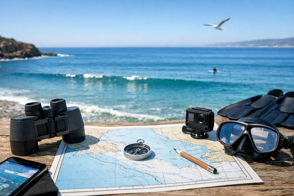
A blue-sky forecast can still deliver a brown-water disappointment. You pack gear, burn fuel, coordinate a buddy, and arrive to stirred-up surf, poor visibility, or a current that makes the session a bad call. This ocean conditions planning guide helps you turn a pile of marine data into one practical answer: is this the right place and time to get in?
For snorkelers, freedivers, and divers, the goal is not finding a technically “good” weather day. It is finding the window when clarity, movement, access, and safety line up for the kind of session you actually want.
Start With the Session You Want
Conditions are never good in the abstract. A small shore break and light wind may be ideal for a first-time snorkeler inside a protected cove, while an experienced freediver may be looking for slack water, depth access, and a clean entry. A scuba diver planning a boat trip has different limits than someone carrying fins and a mask down a rocky shoreline.
Set your minimum conditions before you open a forecast. Decide how much visibility makes the outing worthwhile, what swell height and period are comfortable at that specific location, whether you need a calm surface for a long swim, and what current would change the plan. This prevents a common mistake: seeing one favorable number, such as low wind, and ignoring the conditions that matter more.
It also helps to separate a great session from an acceptable one. If you have limited time or are traveling, an acceptable window may be worth taking. If you are planning a training session, photography outing, or a day with newer ocean users, wait for the better window.
Read Ocean Conditions as a System
Water clarity is shaped by what happened before you arrived, not just what the ocean looks like from the parking lot. Wind, swell, tide, rain, runoff, bottom type, and local geography all affect how suspended sand, sediment, kelp, and debris move through the water.
Wind: Look at Direction, Not Just Speed
Light wind is usually helpful, but direction often matters more. Onshore wind can push surface chop and dirty water toward an exposed beach. Offshore wind can flatten the nearshore surface and improve the look of the water, though it can also make exits, floating gear, and surface swims more demanding at some locations.
Cross-shore wind is a mixed bag. In a protected cove it may not matter much. At an open shoreline, it can create enough texture to make surface visibility, boat pickup, and entry timing less comfortable. Check the forecast against the spot’s orientation rather than treating one wind number as a coast-wide answer.
Swell: Energy Is More Than Wave Height
A two-foot swell can be manageable or surprisingly forceful. Period changes the story. Longer-period swell carries more energy and can wrap into coves, surge across reefs, and make a normally easy entry feel unpredictable. Short-period wind swell may create messy surface conditions even when individual waves do not look large.
Look at both primary and secondary swell. A small secondary swell from another direction can create crossed-up water, surge near rocks, or unexpected movement around a reef. For visibility, swell also matters because it can stir bottom sediment long after the wind has eased.
Tide and Current: Use the Local Pattern
Tide is not a universal visibility switch. Some sites clear on an incoming tide as cleaner offshore water moves in. Others have their best water around high tide, when shallow reef and sand bars are better covered. At tidal channels and passes, a moving tide can mean strong current even when the water looks calm from shore.
Build a note for each place you visit: best tide range, tide direction, typical current, and whether the entry changes at low water. After a few sessions, those notes become more useful than a generic rule. Local pattern recognition is a real advantage.
Rain and Runoff: Give the Coast Time
Heavy rain can reduce visibility fast, especially near river mouths, storm drains, harbors, and sandy beaches. The impact depends on how much rain fell, where it drained, the amount of wave action, and how quickly the local water exchanges. A sheltered rocky point may recover sooner than a nearby beach with a broad sandy bottom.
Do not assume one sunny day fixes everything. Check recent observations, not just the current sky. If there are water-quality advisories, treat them seriously and choose another location or another day.
Build a Better Pre-Trip Check
The fastest planning routine is short enough to use every time. Check it the night before, then again before leaving. Forecasts change, and a fresh observation can save a wasted drive.
Before committing to a session, confirm these five things:
- Visibility outlook and recent photos or community observations from the exact area
- Wind direction and speed at your planned entry time
- Swell height, period, and direction, including any secondary swell
- Tide stage and expected current during your time in the water
- Rainfall, advisories, access changes, and the experience level of everyone going
This is not about turning an ocean day into a spreadsheet. It is about avoiding the obvious mismatch between your plan and the water. If three signals point toward poor clarity or difficult movement, a single positive signal should not override them.
Use Time Windows Instead of All-Day Forecasts
“Good conditions Saturday” is rarely useful enough. Most coastal sessions happen in a narrower window. Wind may be calm early, then rise by late morning. The tide may create a comfortable entry for two hours. A changing swell may make the afternoon less appealing. Visibility can improve after the water settles, or get worse as a breeze builds.
Plan around a time window with a clear purpose. For example, arrive early for lighter wind and surface texture, enter around a favorable tide stage, and set a turnaround time before conditions trend the wrong way. This is especially useful when coordinating buddies, booking a boat, or driving a long distance.
A simplified outlook can help here. Searu brings visibility-focused predictions, environmental snapshots, and real-world check-ins into one place so you can spend less time comparing disconnected forecasts and more time deciding whether the window is worth it.
Trust Local Reports, but Read Them Carefully
A photo or check-in from someone who was there an hour ago can be the most valuable signal you have. It can reveal brown water near shore, a washed-out entry, unexpected chop, or a parking closure that a forecast will not show. Still, local reports need context.
Ask where the report was taken, when it was taken, and what the reporter was doing. Visibility from a paddleboard at the surface may not match underwater visibility at a reef. A report from inside a protected harbor may not apply to an exposed point a mile away. Conditions can vary dramatically along the same stretch of coast.
The best read combines recent local observations with the conditions that caused them. If a report says visibility is excellent and the forecast shows building onshore wind and swell, treat it as a great early window, not a guarantee for later in the day.
Make a Go, No-Go, or Pivot Decision
Good planning includes a backup plan. If the original site is too rough, too murky, or too crowded, know which protected alternative works under that wind and swell direction. If no nearby option meets your limits, call it early. Turning around is not a failed ocean day. It is a decision that protects your energy, gear, and safety margin.
Be even more conservative when conditions are changing, you are unfamiliar with the site, or someone in the group is new to ocean entries. Avoid solo sessions when there is meaningful current, surge, offshore wind, or an uncertain exit. A buddy adds practical support before, during, and after the water – not just an extra person in the parking lot.
Conditions can look inviting and still carry consequences. Keep an eye on the water before entry, watch several wave sets, identify your exit, and agree on communication and turnaround points. If the ocean contradicts the forecast, believe the ocean.
The best coastal plans leave room for judgment. Check the signals, choose the clearest practical window, bring a buddy, and stay ready to save the session for a better day.