
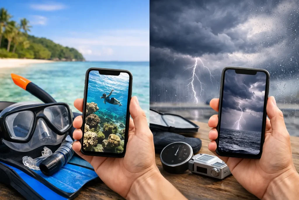
A weather app says sunny, 78 degrees, and light wind. You pack the mask, load the fins, make the drive, and find brown water with a choppy shoreline. That is the gap in the snorkeling app vs weather app conversation: good weather does not automatically mean good underwater conditions.
For ocean people, the real question is rarely, “Will it rain?” It is, “Can I see anything worth swimming out for, and when should I go?” A standard forecast can help with the first question. It usually cannot answer the second.
What a Weather App Actually Tells You
Weather apps are built for broad, surface-level decisions. They are useful for checking temperature, rain chance, wind direction, wind speed, thunderstorms, and sometimes tide or wave data. Before a beach day, boat ride, or road trip, that is valuable information.
But a weather forecast is not designed to tell a snorkeler whether the water will be clear at a specific cove, whether last night’s swell stirred up the bottom, or whether an incoming tide could improve visibility during the next two hours. It reports conditions. It does not always translate them into an ocean-session decision.
That distinction matters because water clarity is shaped by several moving parts at once. Wind can rough up the surface or push sediment toward shore. Swell can churn sand along a shallow reef. Rainfall and runoff can cloud nearshore water long after the sky turns blue. Tide can change the way water moves through an inlet, bay, or reef system. Local geography can make one beach look clean while another, a few miles away, is a washout.
A weather app may show you the ingredients. You still have to decide what the meal looks like.
Why Snorkeling Conditions Need More Context
Snorkeling is a visibility-first activity. If you are planning to spot reef fish, explore rock structures, practice breath-holds, or introduce a friend to the water, clarity changes the entire session. It affects what you can see, how comfortable you feel, how easily you can keep track of a buddy, and whether the trip is worth the effort.
That is why a snorkeling-focused app should start with a practical outcome: favorable, questionable, or poor conditions for getting in. Instead of forcing you to jump between a weather screen, a tide chart, a buoy report, social posts, and a local camera feed, it should turn those signals into a clearer recommendation.
The best tools do not pretend the ocean is perfectly predictable. They show the likely window, explain the conditions behind it, and leave room for local judgment once you arrive. That is far more useful than a generic sun icon when you are deciding whether to fill a tank, message a buddy, or make a 45-minute drive before work.
Surface Weather Is Not Underwater Visibility
A calm, warm morning can follow a week of swell that has kept sediment suspended near shore. A breezy afternoon can still offer clear water at a protected site. Heavy rain inland may matter more to a lagoon than a short coastal shower. These are not edge cases. They are normal coastal variables.
Visibility also changes through the day. A site may look mediocre at low tide, clean up as clearer water pushes in, then become less appealing when afternoon wind builds. The useful forecast is not just “conditions are good today.” It is “the strongest window is likely between these hours, with these trade-offs.”
Snorkeling App vs Weather App: The Practical Difference
The difference is not that one replaces the other. A weather app remains useful for the broad picture, especially when storms, heat, lightning, or major wind events are part of the plan. A snorkeling app adds the layer that matters once the question becomes, “Should I actually get in here?”
A specialized app can bring together visibility outlooks, tide, wind, swell, recent environmental changes, and reports from people who were in the water. That last piece is critical. No model can fully capture a sudden plume near a river mouth, a construction-related runoff event, or unusually clear water at a sheltered local spot. Community check-ins and photo-based observations add real-world confirmation to the forecast.
Searu is built around that decision layer: simplified water-clarity outlooks, suggested session windows, current condition snapshots, and local reports that help turn fragmented marine data into a go, wait, or skip call.
For a traveling snorkeler, this can prevent a wasted morning in an unfamiliar area. For a local, it can make spontaneity smarter. Instead of heading out because the weather looks nice, you can head out because the conditions are lining up.
When a Weather App Is Enough
There are days when you do not need anything more. If you are staying on the sand, planning a casual paddle close to shore, or simply checking whether a thunderstorm will interrupt your afternoon, a weather app can be all you need.
It is also a solid first screen for major safety flags. Strong winds, lightning, extreme heat, dense fog, and incoming storms deserve attention before any visibility forecast. Clear water is not a reason to ignore hazardous weather or local marine warnings.
The trade-off is simple: weather apps offer broad coverage and fast answers, but they are not built around your exact water activity. They can tell you whether the day looks pleasant. They are less reliable at telling you whether your favorite reef will be murky, whether a protected point will be manageable, or whether waiting until late morning will change the session.
What to Check Before You Leave
A better ocean plan starts by pairing broad weather awareness with activity-specific condition guidance. Check the weather for major hazards and comfort. Then check the expected clarity, wind and swell trend, tide timing, and any recent local observations for the site you have in mind.
Pay attention to trends, not just a single number. Wind dropping is often more encouraging than wind holding steady. A long-period swell can affect shallow entries differently from a short wind chop. Rainfall from the previous day may matter even if the current forecast is cloudless. If you are new to a location, give extra weight to recent community reports and choose a conservative entry plan.
Once you arrive, verify the picture yourself. Look at the water from shore. Watch the sets. Check whether surface chop is hiding a clear underwater layer or signaling a rougher session than expected. Ask local operators or regulars if conditions look normal for that site. Forecast intelligence should make you better prepared, not less observant.
Better Planning Also Supports Safer Sessions
Visibility is not only about better photos and more fish sightings. In low-visibility water, it is easier to lose track of your entry point, misjudge distance, and become separated from a buddy. Add current, surge, or a changing tide, and a marginal session can turn stressful quickly.
That is why session planning should include who you are going with, how you will communicate, where you will exit, and what would make you call it early. A buddy system is especially valuable for snorkelers and freedivers who want to avoid solo decisions when conditions are changing. The best day is not the one where you force an entry. It is the one where the water, timing, and plan all make sense.
Stop Letting Blue Skies Make the Call
A weather app answers, “What is happening above the water?” A snorkeling app is designed to answer, “What will it be like when I put my face in the water?” Both have a place, but they solve different problems.
If your time, fuel, gear prep, and ocean window matter, stop treating a pleasant forecast as a visibility forecast. Check the conditions that shape the underwater experience, choose the strongest window, and stay willing to change plans when the coast says otherwise. The ocean will always have the final word, but better information gives you a much better chance of hearing it before you leave home.